
![]()
Your basket is empty.
Categories War & Militaria MAPPING THE SECOND WORLD WAR
MAPPING THE SECOND WORLD WAR
Book number: 95158
Product format: Hardback
In stock
Bibliophile price
£15.00
Published price
£30
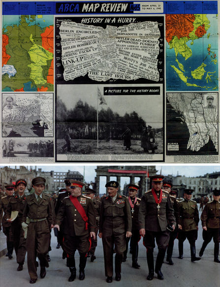
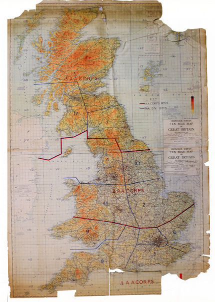
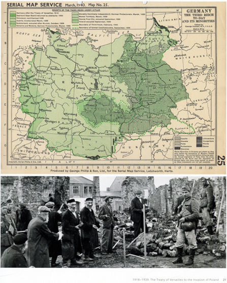

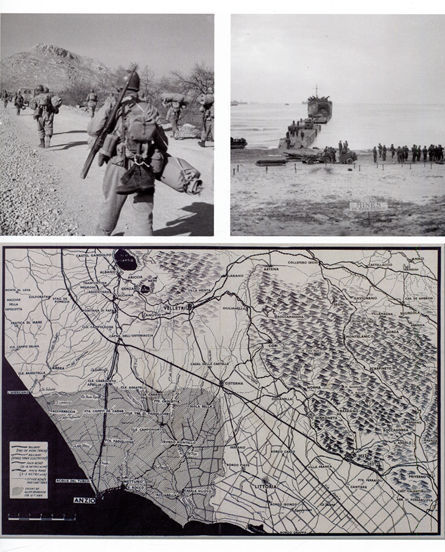
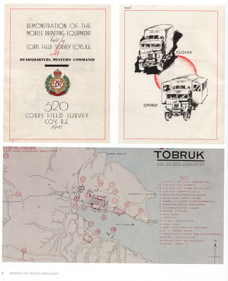
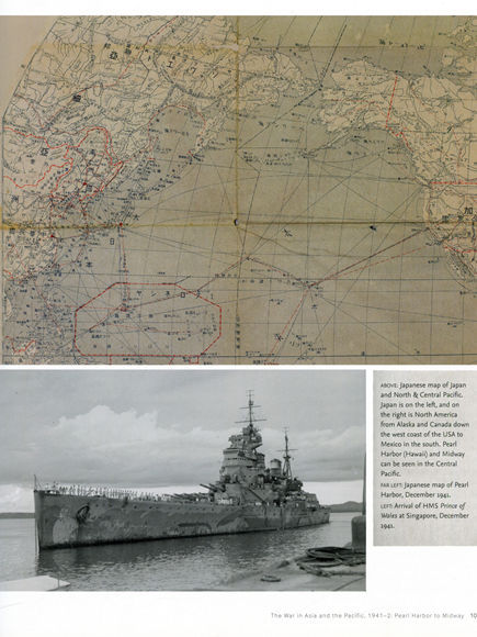
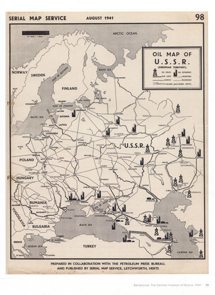
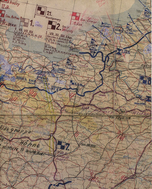
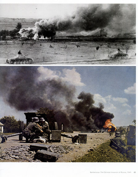


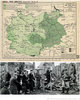

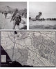
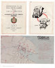
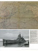
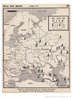
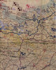
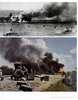
An Imperial War Museum and Collins publication sub-titled 'The History of the War Through Maps from 1939 to 1945', as recently seen by our editor Annie at Stanford's iconic book shop at full price - not here! The 150 Strategic maps show theatres of war, frontiers and occupied territories, key battles and offensives on major fronts, planning and operations maps showing references in detail and propaganda and educational maps for the armed forces and general public. In addition, maps showing dispositions of Allied and enemy forces bomber and V-weapon target maps, and descriptions of key historical events accompany the maps, giving an exceptional illustrated account of the war from an expert historian. Chapter one begins with 1918-39, The Treaty of Versailles to the Invasion of Poland, Chapters two and three 1940 with the German invasion of Norway, the Low Countries and France, and the Battle of Britain and Operation Sealion. Other theatres of war include the Balkans and North Africa, Barbarossa, Pearl Harbor to Midway, Stalingrad and the relief of Leningrad, Sicily and Italy, D-Day to VE Day, the Eastern Front, Burma and the Pacific 1942-45. The map provided commanders and their staff at home and at the front with an easy-to-review information system which modelled, in two dimensions (and in the case of terrain models in three), the complexities of natural ground forms and human-created environments of the theatres and battlefields in which their forces were operating. On these maps they determined their strategy, planned and executed their operations, and instructed their subordinates from the leaders of the smallest tactical units, down to platoons, sections or squads who pored over grid references, interpreted the conventions, signs or symbols and gave their orders. On the large-scale artillery maps, the firing data were read-off. On 'going' maps, tank commanders plotted their routes. On nautical and aeronautical charts, navigators did the same, while bomber pilots and their navigators studied flak and target maps. The map production statistics reveal a stupendous output - well over 300 million map sheets produced by the Germans, Russians, British and Americans. Germany printed around 1,300 million sheets in printing plants and 16 million alone were produced in 1943. Britain produced over 400 million sheets at home, including 60 million by the War Office's Geographical Section of the General Staff or MI4, and 343 million by Ordnance Survey at Southampton. The Imperial War Museums' Map Archives holds many, and the finest examples are reproduced in this magnificent publication. 304 magnificent large pages, 22.7 x 27cm.
Click YouTube icon to see this book come to life on video.
Click YouTube icon to see this book come to life on video.
Additional product information
| ISBN | 9780008136581 |
Customers who bought this product also bought

PHARAOH: King of Ancient Egypt
Book number: 93947
Product format: Hardback
Bibliophile price
£12.50
Published price
£40
|

MAD ABOUT SHAKESPEARE: From Classroom to Theatre
Book number: 94168
Product format: Hardback
Bibliophile price
£6.00
Published price
£25
|

COMPLETE JUNGLE BOOK: The Definitive Macmillan Edition
Book number: 90184
Product format: Hardback
Bibliophile price
£19.00
Published price
£35
|

WAR OF THE POOR
Book number: 94999
Product format: Hardback
Bibliophile price
£4.50
Published price
$17.99
|

NELSON, NAVY AND NATION
Book number: 94764
Product format: Hardback
Bibliophile price
£12.00
Published price
£36.95
|

LITERARY LANDSCAPES PARIS
Book number: 95204
Product format: Hardback
Bibliophile price
£8.50
Published price
£20
|
Browse these categories as well: War & Militaria, Travel & Places


